The
formation of Qinghai Lake
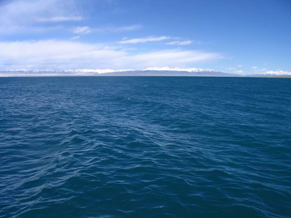
Qinghai Lake originally was a lake connected with
sea. Because of the earth movement, mountains raised and the lake
became an endorheic one.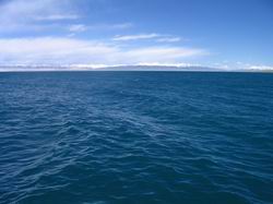
It’s believed that it was formed in 2million years ago. In far
ancient, it was part of Mediterranean Sea. In the 3rd century, Alps
Movement made Qinghai-Tibet Plateau rise. A large amount of sea
fell down and formulated Qinghai Lake. Some time later, another
earth movement made Riyue Mountain rise. As a result, the only entrance
of Qinghai Lake was closed. The mineral material at the bottom of
the lake syncretized into the water, which made it a salt-water
lake. There are about 30 rivers in the Lake District, including
Buha(Mongolian word, means urus) River, Shaliu River, Ha’ergai River,
Quanji River, Ji’ermeng River and etc.
The perimeter of Qinghai Lake has changed for dynasties. In Northern
Wei Dynasty, the perimeter was more than 1000km, while in Tang Dynasty,
it reduced to 400km and in Qing Dynasty, it was only 350km. Nowadays,
the perimeter has shrunk to 30km.
In 1908, the water level of Qinghai Lake was measured by a Russian
to be 3205m and the lake surface is 4800 sq km. In 1970s, the two
numbers reduced to 3195m and 4473 sq km. In 1988, it was 3193.59m
and 4282 sq km. From 1955 to 1988, the water level fell about 10cm
annually. Nowadays, the lake has 73.9 billion steres of water, with
length of 104km and width of 62km. The depth point is 3.14m. The
average mineralization of water is 12.32 g/l and the salinity is
1.24%.
|