|
The
Datong Hui
and
Tu
nationality Autonomous is in the transition zone of Tibetan
Plateau and the Loess Plateau area, located in the eastern part
of Qinghai Province, the south foot of Qilian Mountains, Huang
River basin upstream of the North Rivera.
It is next to the mutual
Tu
nationality Autonomous
to the east
across Ma An Shan,
Niangniang Mountain on the
west
as the border with Huangzhong and
Haiyan Counties,
Xining City
on the
south,
and facing the Menyuan
Hui
Autonomous
to the
north
with
Daban mountain.
|
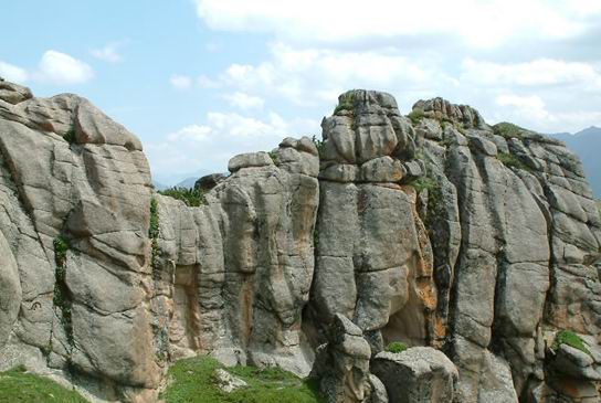
Beautiful Stone Forest, the treasure trove of Datong |
|
Datong
is located
between longitude 100 ° 51 'to 101 ° 56'
and
latitude 36 ° 43 'to 37 ° 23',
with
the altitude of 2280-4622 meters, average annual temperature
5.5 degrees,
and
annual rainfall 450-800 mm.
The
frost-free period
is around
100-120 days
per year.
East to West spans
95
km and 85 km
from
north
to
south.
It is like the shape of a leave,
a total area of 3090 square kilometers.
|
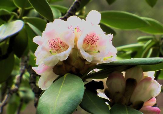
Rhododendrons bloom in Datong |
|
There are 9 towns, 11 counties,
289
village committees
and
20
community committees, with a total population of 44.3 million,
covering
Han, Hui, Tu, Tibetan, Mongolian and other 25 ethnic groups.
The
minority population
is
20.7 million, accounted for 46.7% of the total population of the
county.
The
agricultural population
is
34.6 million, 78.1% of the total. |
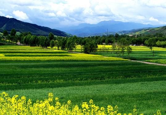
Rape flowers welcome guests far away |